Where the road meets weather
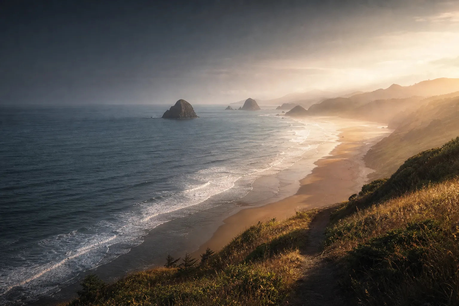
Marine haze held the horizon in layers. Morning reduced the beach to silver water and dark rock; by evening, the whole northern coast opened into headlands, warm light, and a road pointing south.


The road stayed close to the water. Each turn exchanged one scale for another: headlands giving way to tide pools, dark spruce above broad sand, and evening light settling into the coves. This is the coast in a handful of quiet frames—ordered southward, and kept close to what the camera could actually see.
Four days following Oregon’s edge, from the open headlands near Cannon Beach to the forested curves around Cape Perpetua.
Marine haze held the horizon in layers. Morning reduced the beach to silver water and dark rock; by evening, the whole northern coast opened into headlands, warm light, and a road pointing south.


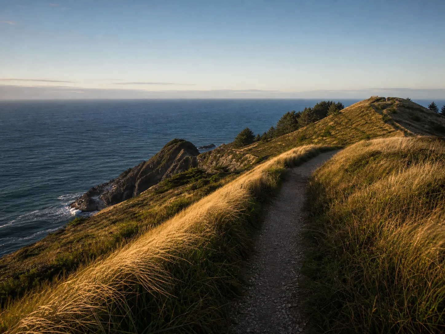
The next stop exchanged basalt for softer ground. A narrow trail crossed the exposed grass above the water, while the cape below showed every season of wind and rain in its worn ochre face.


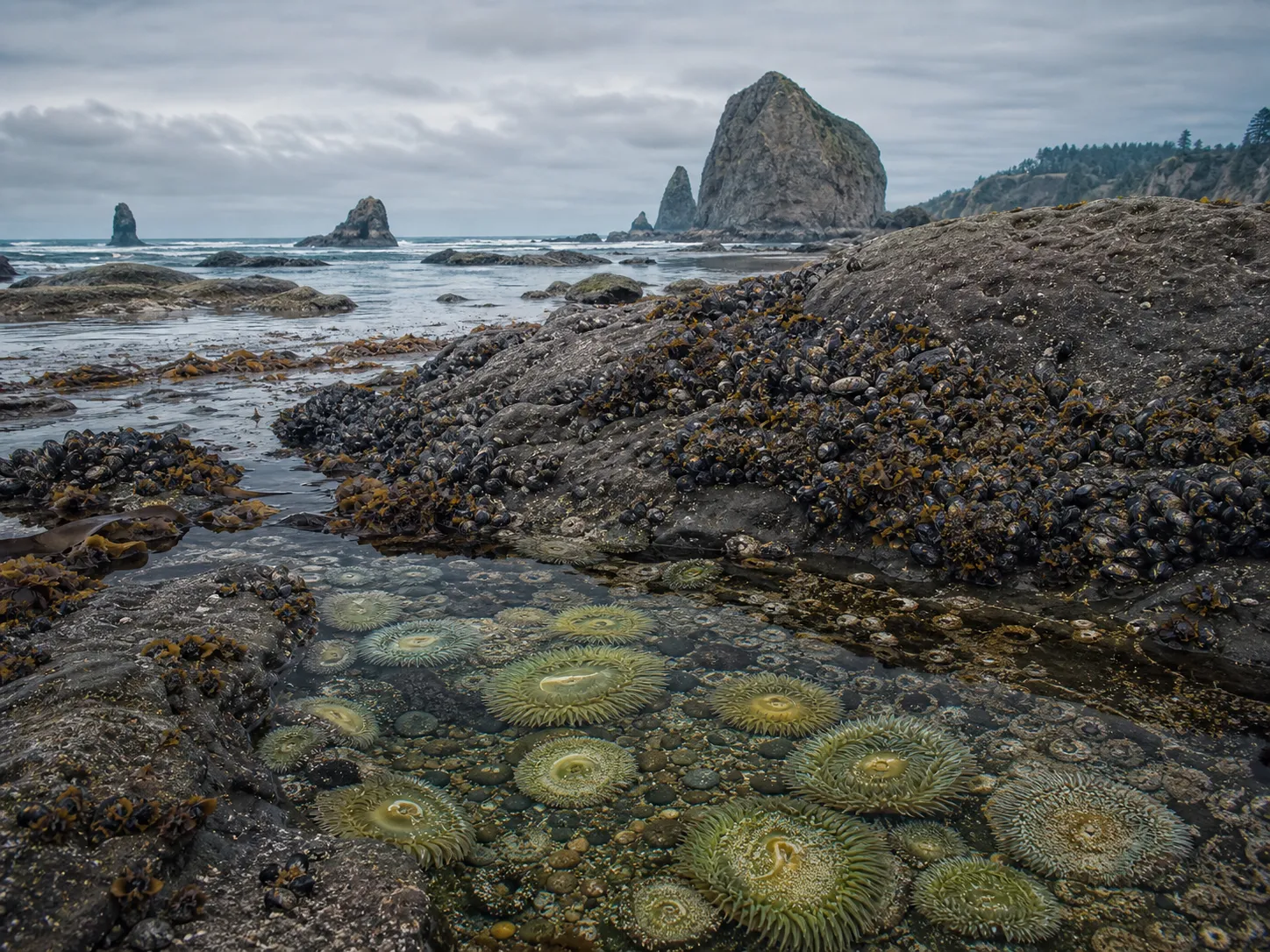
At low tide, the view turned downward. Mussels, anemones, water-polished basalt, and storm-thrown timber formed a denser coast beneath the forested coves.


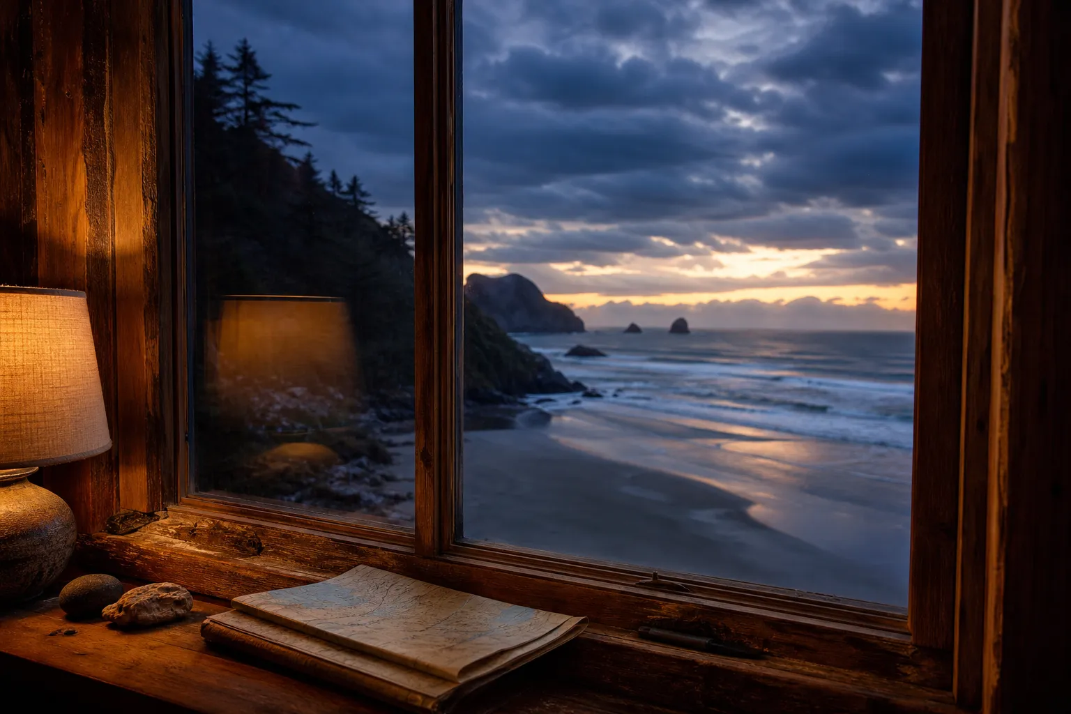
The final section moved beneath old spruce before the light withdrew. From the cabin, the same coast became a framed distance—blue water, warm timber, and one last line of sunset.


8 photographs, arranged in the order they were made.

By dusk, the route had become a thin line folded back into the map.
This complete story was generated from a folder of travel photos—without manually selecting frames, writing captions, or designing a page.
See how Wanderpage worksEight distinct frames selected, sequenced, and shaped into a coherent visual rhythm.
Dates and approximate places organized into a route, chapters, captions, and sourced context.
Originals left untouched; exact GPS and camera metadata removed from every published image.